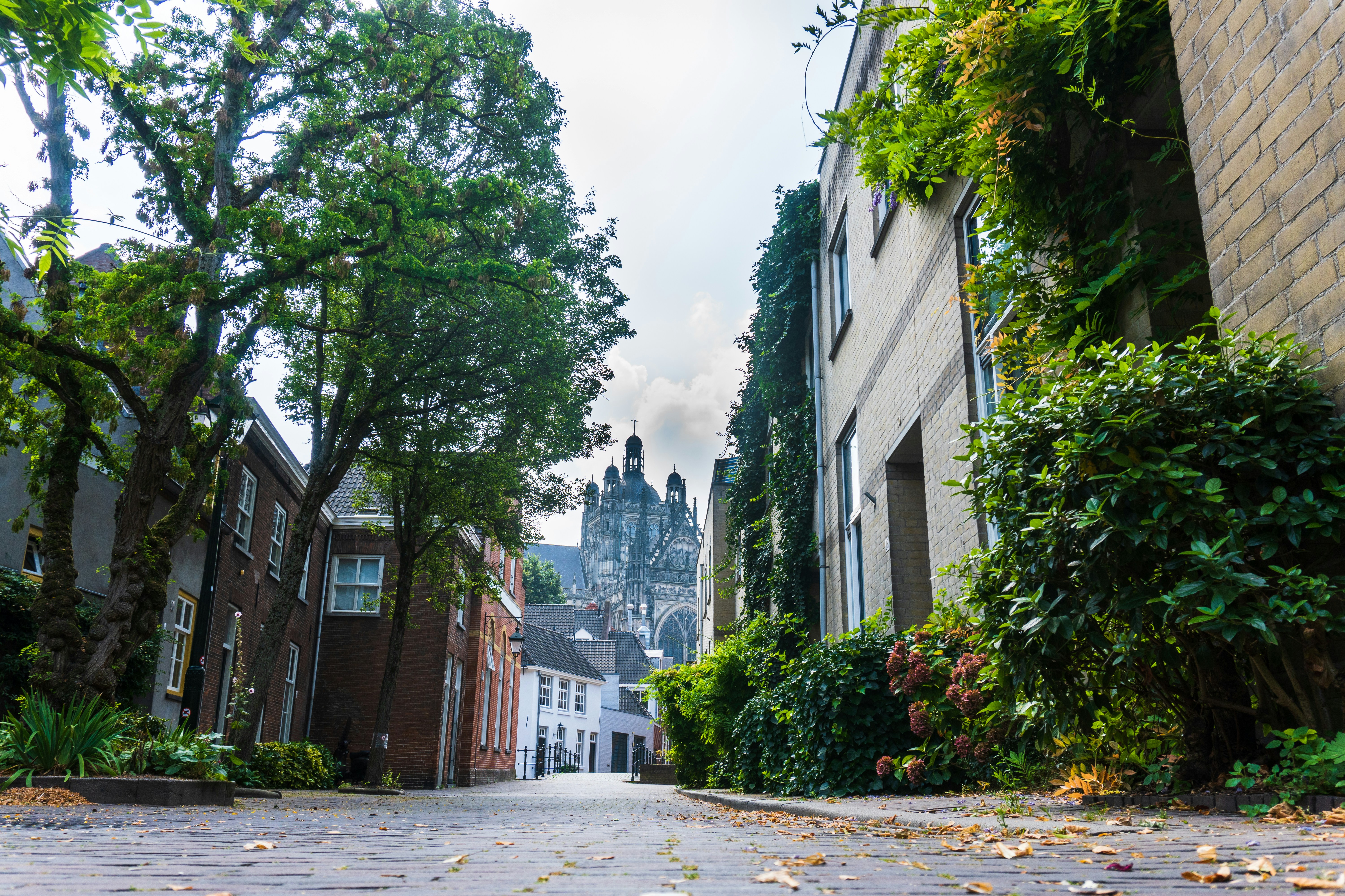
Den Bosch's green infrastructure is shaped by its geography — the Dommel and Aa rivers, the polder landscape at the city's edge, and the parks within the historic fortification ring combine to create a green distribution that's more nuanced than a single "Den Bosch is green" statement conveys. CasaCanal scores green space at postcode level, revealing where that green is actually accessible as part of daily residential life.
How we score green space
Den Bosch's green space dimension combines accessible park area per resident within walkable distance (CBS municipal green space registry), Dommel and Aa river corridor proximity weighted for recreational and natural value, and vegetation coverage density from national land use classification. A postcode adjacent to the Dommel corridor scores differently from one where the nearest green space requires a car — the score reflects walkable, functional green access rather than map proximity to classified areas.
Where the data points
Den Bosch's highest green space scores concentrate in postcodes adjacent to the Dommel corridor and the outer parks — including areas that sit outside the main expat or tourist concentration but score consistently well on accessible natural environment. Some of these postcodes also show strong safety indicators, creating a combined profile that performs well on CasaCanal's Family-Focused cluster. See: Den Bosch family neighborhood guide for the family-specific analysis.
Data sources and methodology
Green space scoring uses CBS postcode registry data, municipal park and river corridor classifications, and national vegetation coverage data — normalized at four-digit Den Bosch postcode level. Full methodology at casacanal.nl/methodology.
Den Bosch's greenest postcodes are concentrated along the river corridors — not always the most prominent residential areas. Filter Den Bosch by green space score on CasaCanal to see which neighborhoods score highest — and combine with safety and transport scores to build a complete picture.